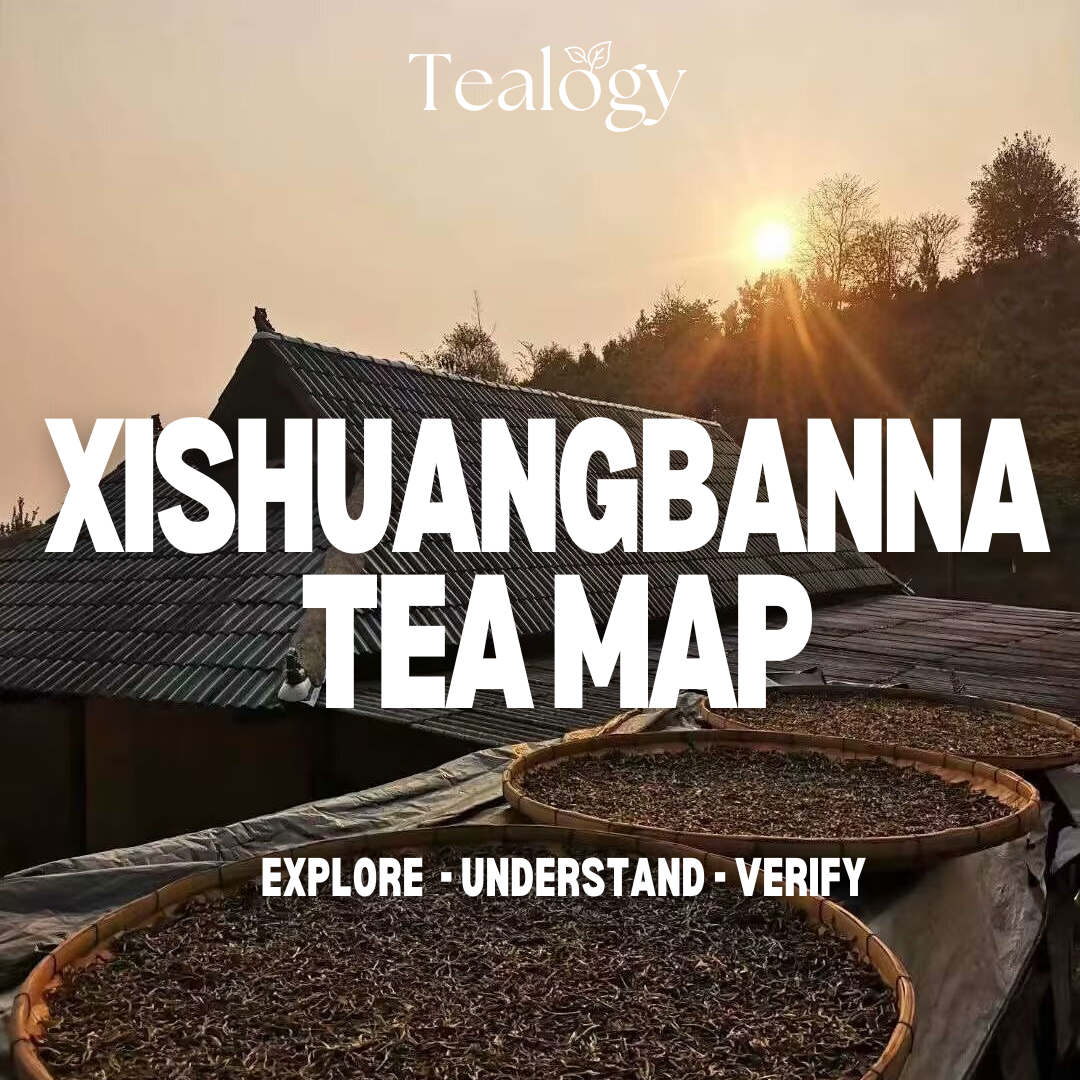
#2 XISHUANGBANNA TEA MAP

INTRODUCTION
Legends say that tea was prepared in Yunnan province more than 3,000 years ago. Either the fresh leaves were poured with hot water in bamboo cups, or they were roasted over an open fire and then briefly boiled in clay jugs. This method is mainly used in the winter months and can still be found today. The first references to "puer" tea (普洱茶) can be traced back to the 6th century in the context of the Ancient Horse and Tea Road (茶马古道). As part of the Silk Road, tea from the royal gardens was transported by short horses worldwide, serving as a delicious drink that uplift the soul and mind.
Autonomous Dai Prefecture Xishuangbanna (西双版纳) represents a small mountainous area located in Southwest China. It is a famous tea hotspot at the border with Laos and Myanmar, which is nearly 1/4 of the size of Czechia (± 20000 km2). Xishuangbanna is not only well-known for puer tea and tropical weather (average 25-40°C) but also for its ethnic diversity (13 out 56 minorities) and widespread hospitality.
The prefecture is divided into three counties – Jinghong (景洪), Mengla (勐腊) and Menghai (勐海), which host about 1 million inhabitants. In the late 1200s, the Xishuangbanna was represented by four loosely connected Tai kingdoms - Kengtung (today’s Shan State in Myanmar), Lan Zhang (today’s north-western Laos), Lan Na (today’s northern Thailand) and Sipsong Panna (today’s Xishuangbanna in China).
To date, there can be found more than 470 villages, which are predominantly distributed among six new tea mountains (Menghai County 勐海) and six ancient tea mountains in (Mengla County 勐腊). The tea varieties range from small cultivated shrubs densely planted in tea terraces (taidi 台地) to large ancient tea trees (gushu 古树) growing in jungle with distinctive thick trunks reaching up to several meters height. Traditionally, the pu’er tea comes from naturally-grown tea trees at an altitude between 760-2750 m.a.sl., which grow for hundreds to thousands of years without any human intervention.
Unlike other tea regions, the Xishuangbanna tea mountains have several advantages. Apart from reddish sandy loam with excellent water permeability and aeration, it is the distinctive subtropical mountainous monsoon climate, which provides enough humidity, light and soil temperature to tea trees. Apart from abundant interannual precipitation (1200-1800 mm) and optimum soil pH (4.00 to 6.09), the Xishuangbanna also has one of the largest rain forests in Asia (± 720 km2), which supports rich biodiversity and sufficient levels of organic matter serving as the natural fertilizers. The tea is standardly harvested a few times per year, particularly in Spring (March-May) and Autumn (August-October).
DISCLAIMER
The presented map focuses only on Xishuangbanna Dai Autonomous Prefecture (西双版纳), which is one of the most pu’er tea-producing areas in Yunnan Province. The map monitors the area of Six Ancient Tea Mountains (古六大茶山) and Six New Tea Mountains (新六大茶山). The map was supervised by Richard Grünwald and designed by Karolína Žatečková under the auspices of the project "TEAEYE". The map serves as an interactive tool to raise awareness about the tea geography in Xishuangbanna and provide some basic information about this tea region. Data were collected from an extensive literature review of secondary and tertiary sources in Chinese and English. The accuracy of the empirical data is based on the cross-references and the estimates made by researchers and other tea professionals. The data may be subject to change in the future if we find a more reliable dataset since tea geography is still a very unanchored topic outside of Asia. The list of literature sources will be uploaded in the final version of the map or shared upon request. The content can be publicly shared, yet any part of our work is not intended for any commercial use from third parties without our permission.
The tea map was updated to 17th November 2024. The beta version of this map includes only several key villages from the twelve tea mountains. During the pilot phase (Fall 2024 – Spring 2025), we will optimise the user interface, deal with potential errors, and gradually add more content. The tea map is freely accessible to the public and uses some information that will be introduced in the upcoming research article regarding the pu’er tea market. To get access, click on the picture above or on the link below.
< CLICK HERE >
NOTE
The map currently works only in the most frequent browsers (Mozzila, Internet Explorer, Safari...). The tool was not tested on mobile phones (IOS and Android), where we encountered some technical issues. We will adjust this problem in the next update. Thank you for your understanding.
If you encounter any other issues or have any questions, please, contact us at info@bannahouse.cz
© Banna House
Proposed: Richard Grünwald
Designed: Karolína Žatečková
Data: Richard Grünwald
Map interface: Google maps
Version: 1.01, Last updated: 17th November 2024
